Agency for Digitisation,
High-Speed Internet and Surveying
Our organisation and products at a glance
Our environment is changing constantly. For this reason, the current documentation in aerial photographs, maps and in the real estate cadastre is an ongoing task for the Agency for Digitisation, High-Speed Internet and Surveying (LDBV). The authority is in a constant development process and connects tradition and modernity. Today, with the IT Service Centre of the Free State of Bavaria (IT-DLZ) and the Bavarian High-Speed Internet Centre, we also offer IT services for the state administration and support for the extension of the high-speed Internet. The LDBV sees itself as a service provider for the citizens of Bavaria: authoritative, reliable, fast - from surveying to High-Speed Internet support.
- innovative technology
- central contact for official cadastral surveying in Bavaria
- more than 200 years of tradition
- official quality
- throughout Bavaria
Digitisation
Digitisation is taking on new forms
IT Service Centre of the Free State of Bavaria
The IT Service Centre of the Free State of Bavaria (IT-DLZ) has the task of providing powerful and future oriented E-Government applications as well as infrastructures for operating IT systems for the state administration and courts in Bavaria.
Spatial Data Infrastructure Bavaria
The Spatial Data Infrastructure Bavaria ("Geodateninfrastruktur Bayern", GDI-BY) creates the technical and organisational framework for making spatial geodata available to administrative, scientific and economic bodies als well as citizens. Thus, spatial data from different fields become usable in a simple and harmonised way - from land use to wind energy.
BayernLabs
The BayernLabs are an initiative of the Bavarian State Ministry of Finance, Regional Development and Regional Identity. In the labs you can expect topics and trends concerning progressive digitalisation. This means that centres for digital knowledge creation are available to the public in rural areas.
High- Speed Internet
throughout Bavaria
Bavarian High-Speed Internet Centre Amberg
The main tasks are the improvement of high-speed Internet access within the framework of the funding program, coordination of counselling by high-speed Internet managers, optimisation of consultation quality as well as the networking of all parties involved in the high-speed Internet expansion in Bavaria.
Bavarian WLAN Centre Straubing
Bavaria will be the first federal state with its own WLAN network. By the year 2020, up to 20,000 hotspots will be made available free of charge in the BayernWLAN. The BayernWLAN Centre in Straubing is the central location for setting up and operating the BayernWLAN hotspots.
Surveying
The Bavarian Surveying an Mapping Authority (BVV) records, maintains and presents geospatial reference data
Bavarian Agency for Digitization, High-Speed Internet and Surveying
based in Munich is the central point of contact for the entire field of official cadastral surveying in Bavaria and is responsible for geotopography and geospatial reference data.
Agencies for Digitisation, High-Speed Internet and Surveying in Bavaria
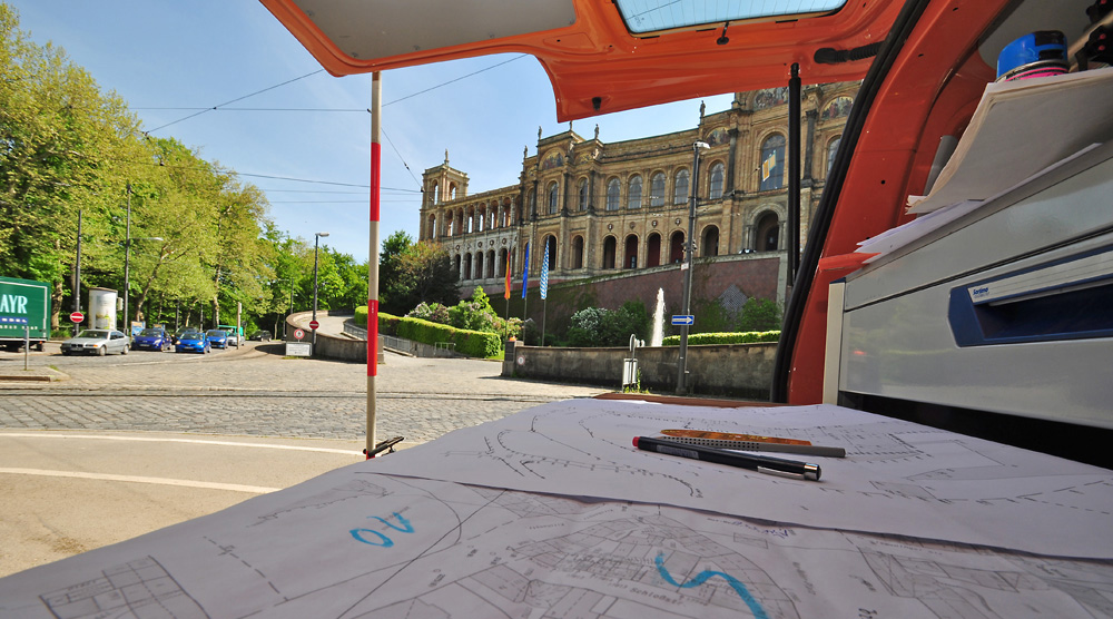
are responsible for land surveying and for safeguarding property. The management of the real estate cadastre is just as much a statutory mandate as the surveying of new buildings.
Feldgeschworene
The officials who establish and protect land boundary markers are partners of the Bavarian Surveying an Mapping Authority and Custodians of the Borders in cooperation with the Agencies for Digitization, High-Speed Internet and Surveying. Officials who establish and protect land boundary markers exercise the oldest municipal honorary function in Bavaria.
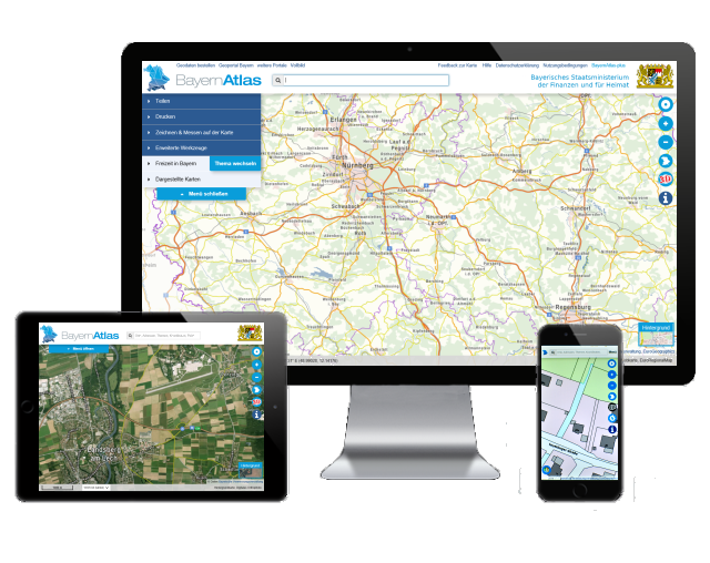
BayernAtlas and GeodatenOnline
Overview of our maps and aerial photographs
our geodata in the online shop
to the Bavarian atlas
to geodata online
Our products
throughout Bavaria, authoritative, relevant
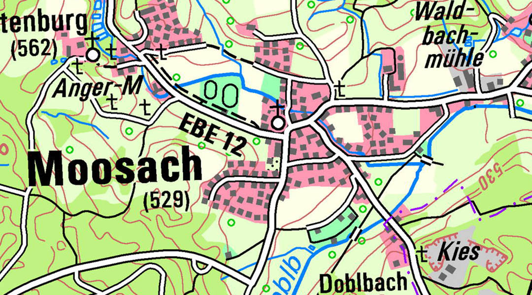
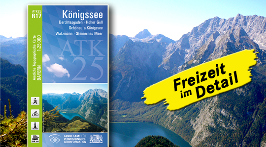
Our geospatial reference data provides the basis for numerous projects in commerce and administration. The high information content can be used profitably for the individual planning of leisure time.
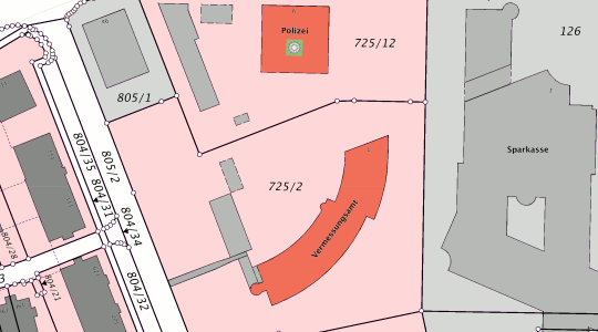
Authoritative benchmark, real estate cadastre and topographic-cartographic information systems compile the data of the authoritative surveying into a uniform comprehensive dataset. This results in nationwide standardised data formats like the standard based Exchange Interface (NAS) and Shape.
Online services of the Bavarian Surveying an Mapping Authority offer the possibility to query geodata around the clock.
- authoritative quality
- current geospatial
- high informational content
- nationwide standardised data formats
- for information and planning relating to land
- Access via Web Map and Web Feature Services (WMS, WFS)
Service & Advice
Contact
Landesamt für Digitalisierung,
Breitband und Vermessung
Alexandrastraße 4
80538 München
Customer Service
Administrative offices search
You can find your competent administrative office by entering your postcode or place of residence.


